2012 – End of the Maya Long Count
Catastrophe theorists have been having a field day – or rather year. 2012 is when the Maya long count ends.
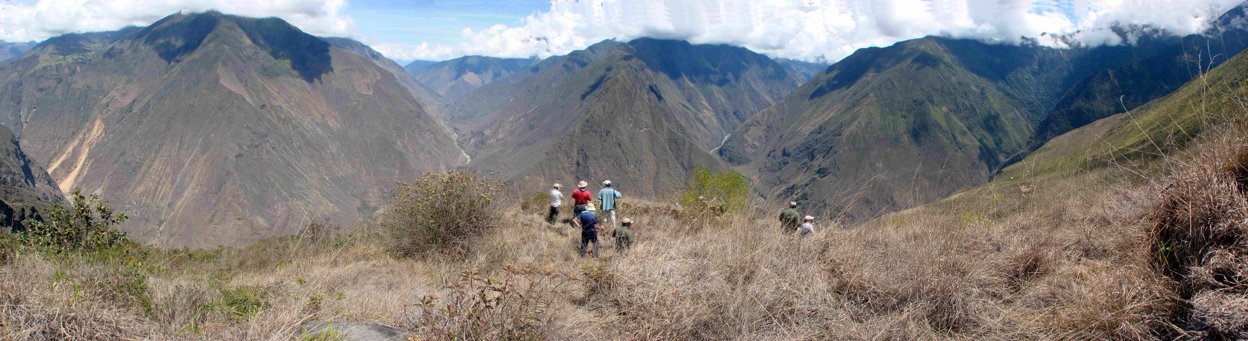
As catastrophe theorists have loved to point out, 2012 marks the end of the old Maya long count, the end-date of a 5,125-year-long cycle; but before we get too depressed, Mayanists have been quick to add that just because one count ends, it doesn’t mean the Maya believed another couldn’t begin.
As ever, nothing is ever quite as you think it is with the Maya.
 Thirty-five years ago, I visited my first Maya site, at Palenque. From the top of the Palacio temple, a staircase led down inside it to the burial chamber of a ruler. The ‘secret staircase’ – it is difficult to use any other less melodramatic term – had only been discovered in 1949. An archaeologist noticed there were holes which had been filled with stone plugs in one of the floor slabs; the temple wall also extended below ground level, suggesting some lower chamber.
When they lifted the slab, they found a stairway filled so densely with rubble that it took three years to get to the bottom.
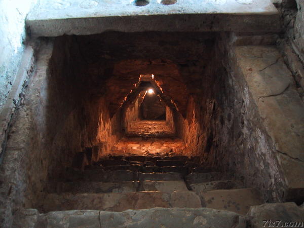 Going down the corbelled staircase on my own felt like something out of John Buchan. At that time, visitors were asked to bring their own torches, as there were only low-voltage lights running from an intermittent generator.
For the archaeologists who first saw the funeral vault at the bottom, it must have been the revelation of a lifetime: the room was still preserved as they had found it, with the king’s funeral tomb dominating the chamber.
The size of the crypt was impressive: it was at least twenty feet high. After the descent down a narrow staircase, this was like finding a cavern after pot-holing.
![]() In the years since my visit, much has changed in our understanding of the Maya – from new archaeological discoveries, but above all because we can now finally read the glyphs on the temple stelae. …
In the years since my visit, much has changed in our understanding of the Maya – from new archaeological discoveries, but above all because we can now finally read the glyphs on the temple stelae. …
2012 – End of the Maya Long Count Read More »